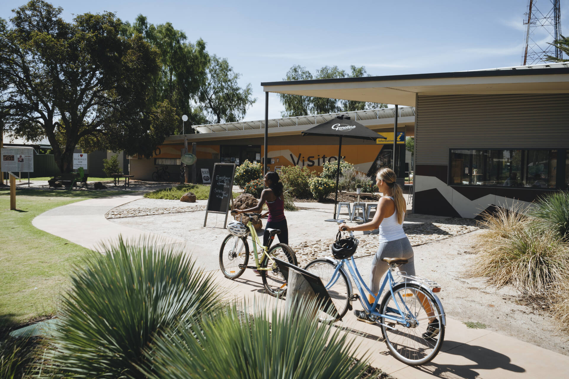


Balranald Shire is a local government area in the Riverina area of western New South Wales, on the Sturt Highway. It is the location of World Heritage listed Mungo National Park and the Willandra Lakes region. Balranald Shire is also known for the five iconic rivers that meander through the Shire being the Murrumbidgee, Murray, Wakool, Edward and Lachlan rivers.
Part of Yanga National Park is also located in the Balranald Shire and is in close proximity to the township of Balranald.
Balranald Shire includes the towns of Balranald and Euston. Other localities include Kyalite, Hatfield, Penarie, Clare and Oxley.

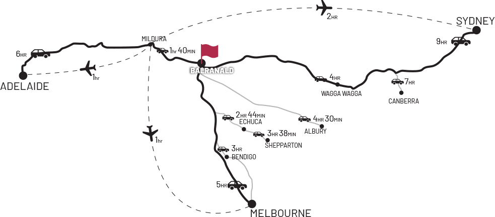
There are a number of ways to reach Balranald from major cities such as Sydney, Melbourne & Adelaide. Some flights can be made to Mildura, a close by town, or if you’re driving there are a number of ways to reach us.


STREET ADDRESS
70 Market Street
Balranald NSW 2715
POSTAL ADDRESS
PO Box 120,
Balranald NSW 2715
CONTACT COUNCIL
Phone: 03 5020 1300
Fax: 03 5020 1620
Email: council@balranald.nsw.gov.au
OPENING HOURS
Monday – Friday: 9:00am – 4:30pm
Emergency after hours Phone:
Water/Sewer : 0418 322 902
Roads: 0427 273 741
Town: 0448 738 144
Euston: 0419 693 956
Acknowledgement of Country: Council acknowledges Aboriginal people as the traditional custodians of the land on which our offices and services are located. We pay our respects to all Aboriginal community Elders past, present and emerging.